
02 · Route chapter · Drâa Mesas
Where the road loses its edges.
South of Zagora the landscape opens up. Table mountains stand on the horizon like markers while the visible track keeps disappearing. What counts here isn't the fastest line - it's reading the ground: hard surface, loose rocks and hidden sand pockets. The right route always depends on the vehicle, the light and the current condition of the track.
The chapter
Drâa Mesas
A visual chapter from routes around Zagora — not a fixed package or a navigation map.
South of Zagora the landscape opens up. Table mountains stand on the horizon like markers while the visible track keeps disappearing. What counts here isn't the fastest line - it's reading the ground: hard surface, loose rocks and hidden sand pockets. The right route always depends on the vehicle, the light and the current condition of the track.
Route, access and terrain change with the vehicle, weather and the current condition of the tracks.
- Area
- South of Zagora
- Terrain
- Mesa
Field images
Drâa Mesas
A visual chapter from routes around Zagora — not a fixed package or a navigation map.
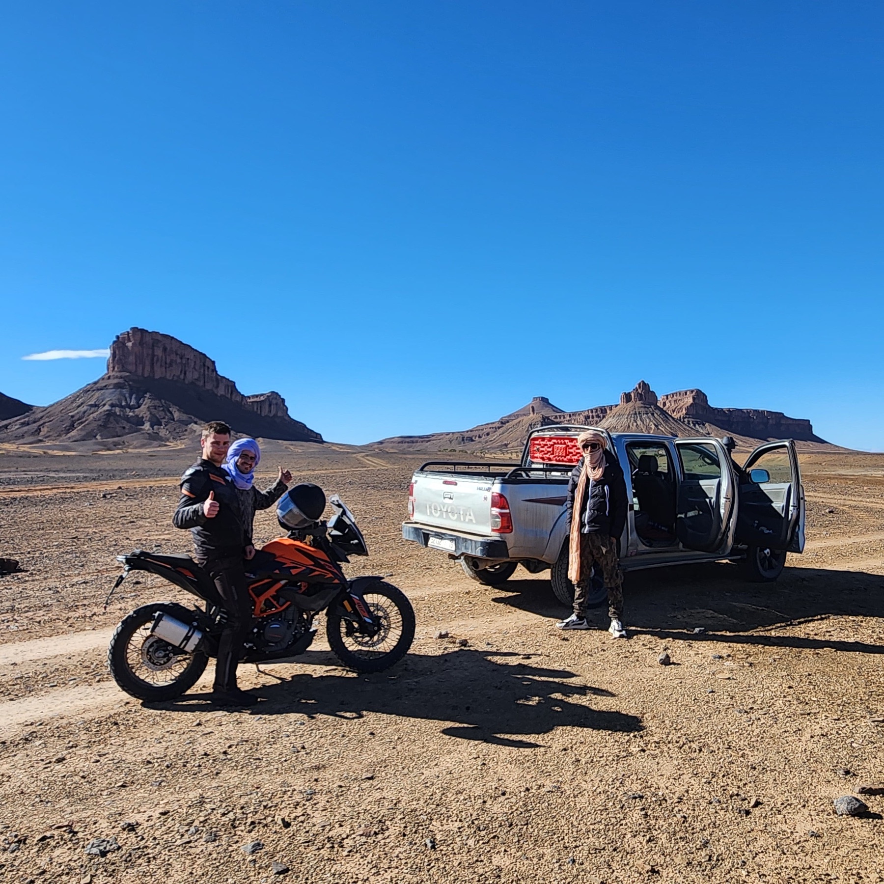 Field image · 01
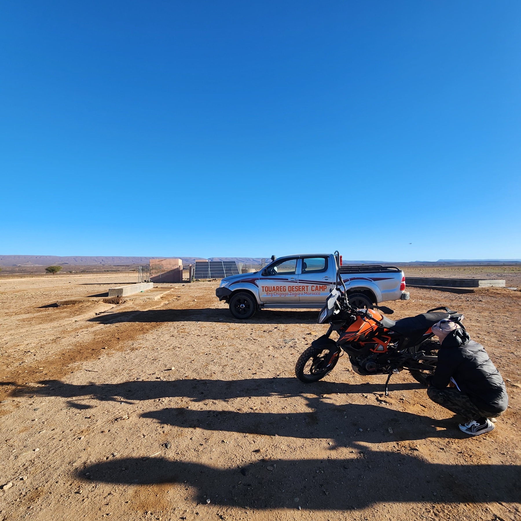 Field image · 02
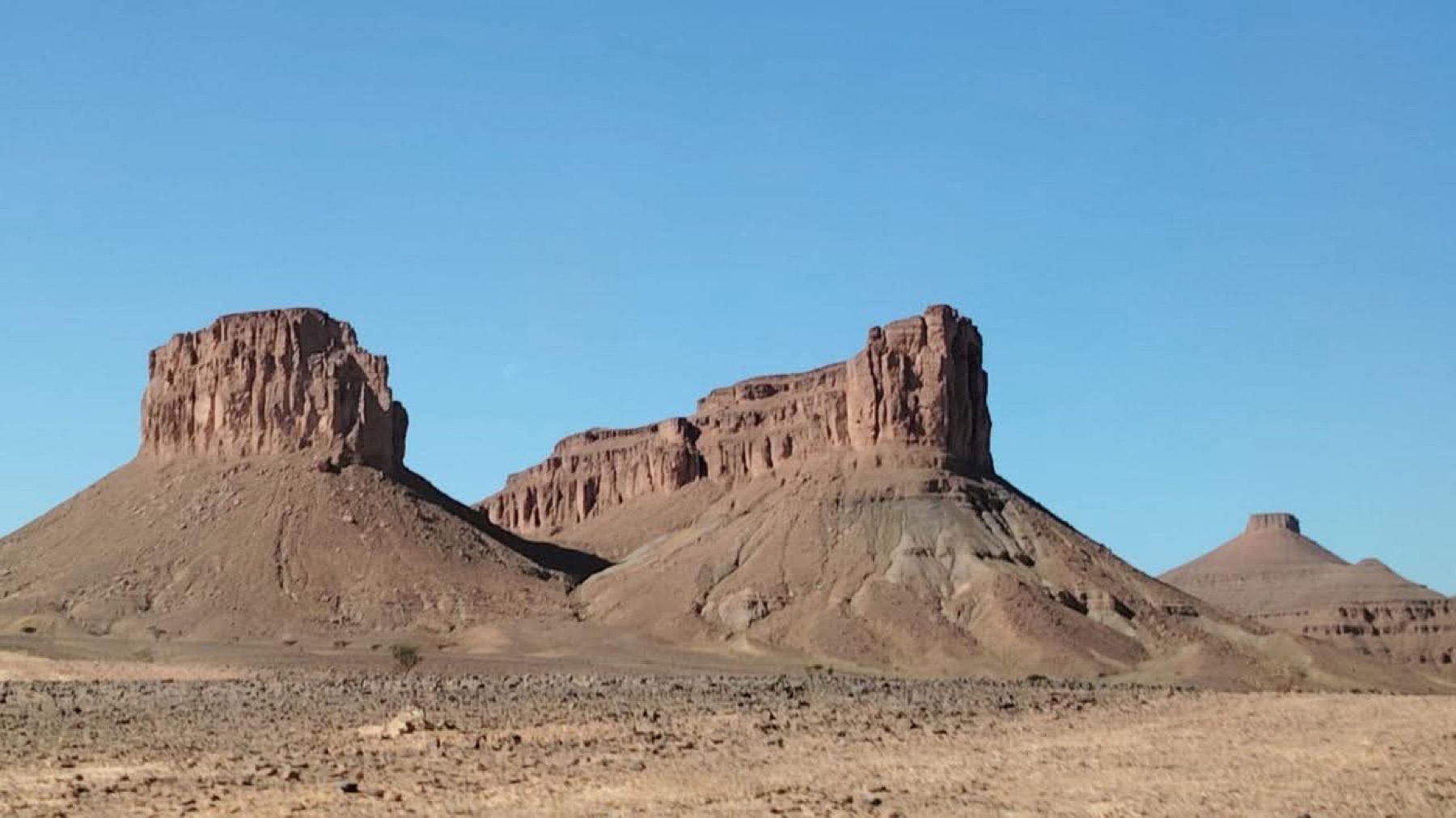 Field image · 03
Route details
Where the road loses its edges.
Wide horizon · rocky ground · shifting tracks
Route, access and terrain change with the vehicle, weather and the current condition of the tracks.
Planning a route through the south?
Share your vehicle, timing and route idea. Zakaria can explain what is practical and coordinate the right local contact depending on the situation and availability.
Continue through the atlas
Move through the other route chapters and compare the landscapes, vehicles and moments that shape a journey south of Zagora.