Zakaria accompanies international overlanders on selected off-road and desert routes, supports route planning and remains the first point of contact if a problem occurs along the way.
No two routes are the same. Vehicle, experience, season, weather and track conditions determine which route is suitable. Zakaria coordinates the possible support individually, combining local route knowledge with mechanical assistance and an established network.
Route atlas · Zagora region
8 chapters · different drives · approximate areas
Map positions indicate approximate areas. Route, distance and access vary depending on the vehicle, weather and current track conditions.
06 · Gallery
From Zagora into the desert.
Eight chapters from routes around Zagora. Moments from different drives, assistance missions and encounters - not a fixed tour package or an exact route to follow.
8 chapters · different drives · approximate areas
Map positions indicate approximate areas. Route, distance and access vary depending on the vehicle, weather and current track conditions.
Route atlas · Zagora region
approximate area
N
active
past
upcoming
01Basecamp Zagora
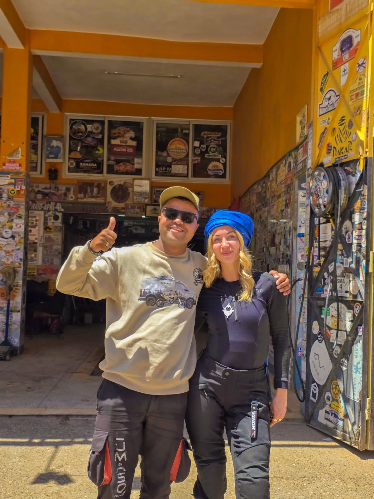
Garage Iriki in Zagora: stickers, traces of past journeys and the starting point for vehicle check and route briefing.
Before the track begins.
In Zagora a good route doesn't start with full throttle - it starts with a map on the table. Vehicle, weather, tire pressure, range and possible bail-outs are checked. Garage Iriki is the partner workshop and homebase where a rough idea turns into a realistic plan - and where sand, new noises and small damage get sorted out after the return.
Area
approximate area
Terrain
BASECAMP
Region
Zagora
Route and distance vary
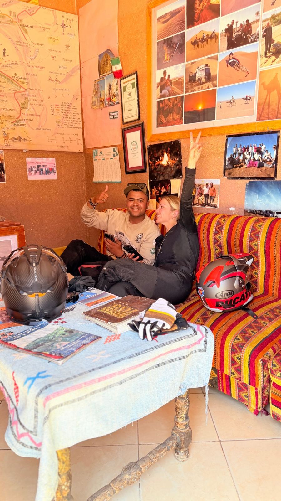
Maps, photos and local experience - this is where a rough idea becomes a realistic plan.
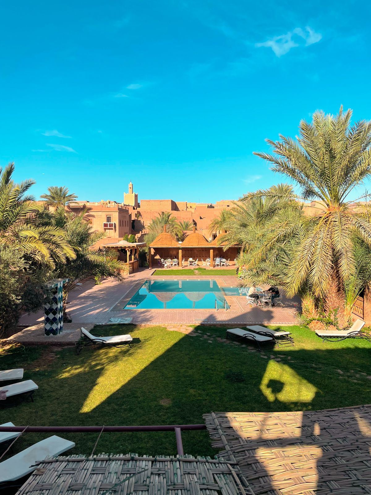
A quiet arrival moment near Zagora, before vehicles and the route take over.
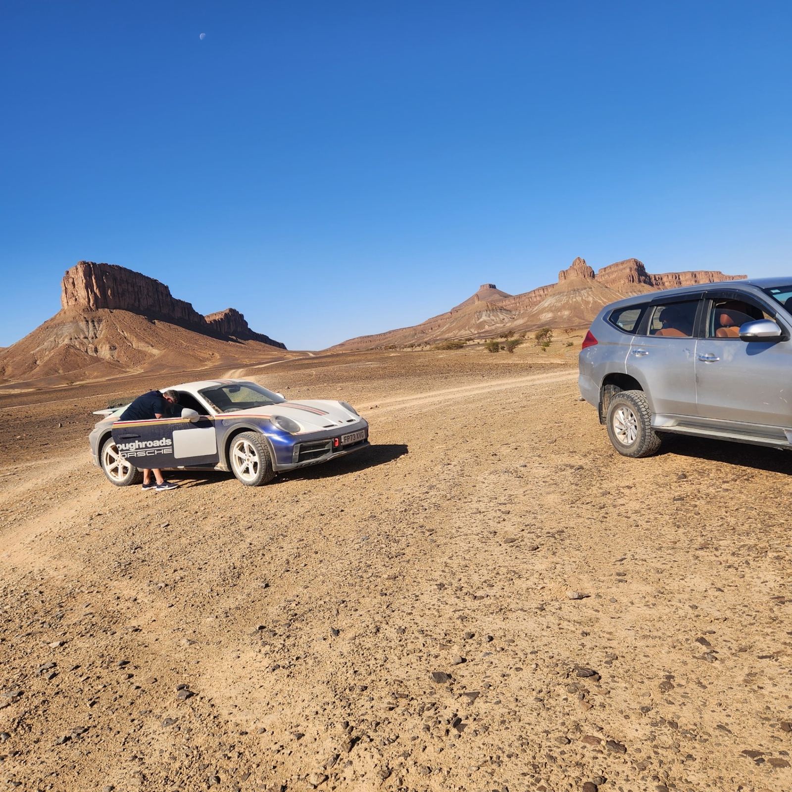
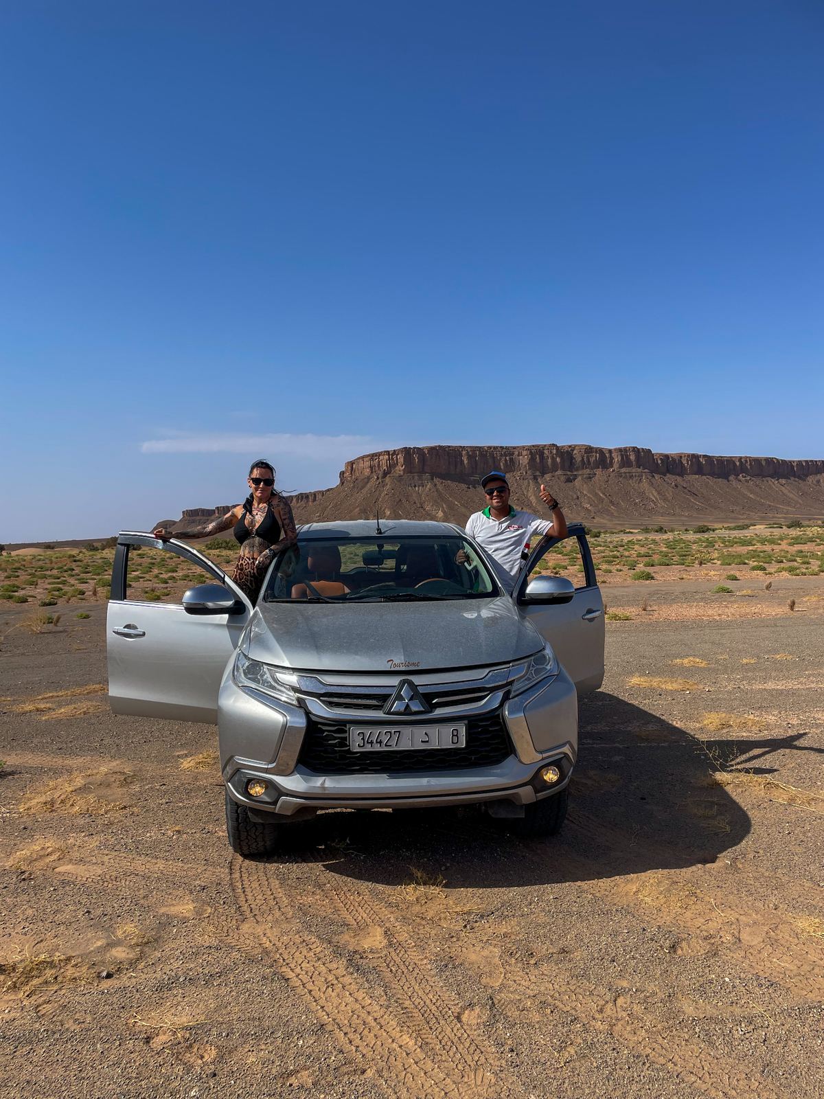
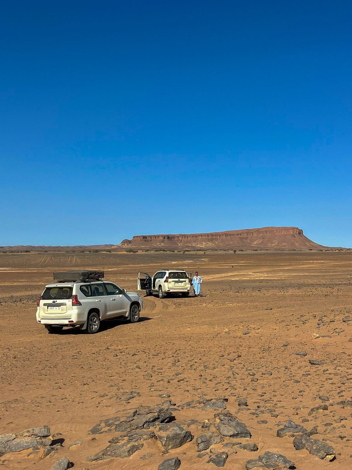
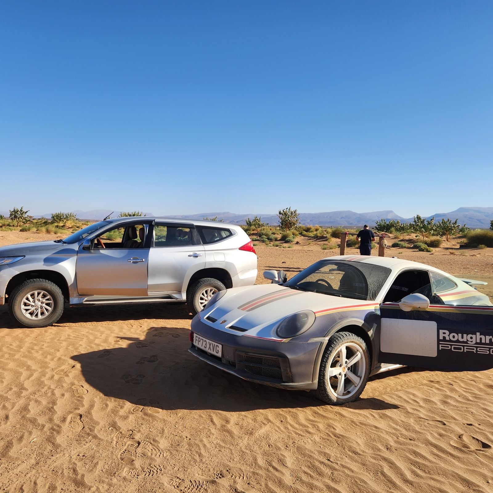
Two very different vehicles in front of the same mesas - each line has to match the car.
Where the road loses its edges.
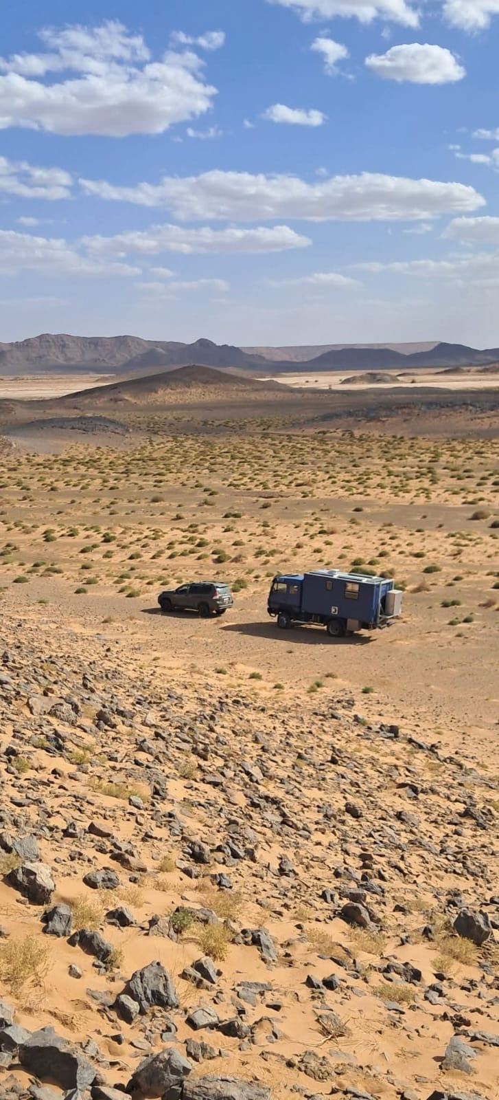
South of Zagora the landscape opens up. Table mountains stand on the horizon like markers while the visible track keeps disappearing. What counts here isn't the fastest line - it's reading the ground: hard surface, loose rocks and hidden sand pockets. The right route always depends on the vehicle, the light and the current condition of the track.
Area
approximate area
Terrain
MESA
Region
South of Zagora
Route and distance vary
A natural reference point in the open landscape south of Zagora.
Two Land Cruisers on the rocky plateau between visible track and free line.
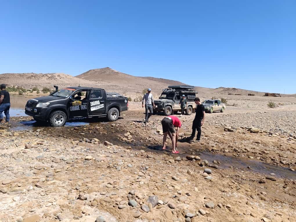
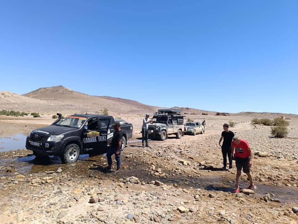
The Hilux checks ground, depth and exit before any other vehicles follow.
When the desert suddenly runs with water.
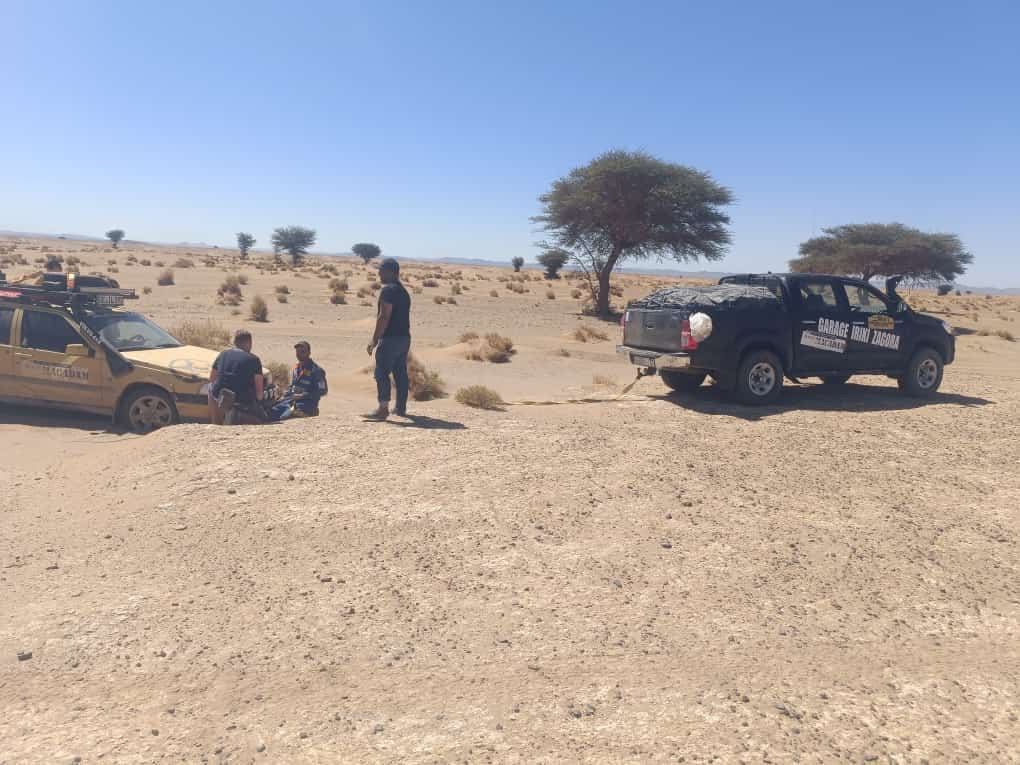
A wadi can look dry for a long time and, after rain, change the whole route within hours. Before a convoy drives through, ground, depth and exit are checked. The first vehicle tests the passage, the others wait. If a vehicle gets stuck - or a rally car can't get out - anchor point, angle and ground matter more than sheer horsepower.
Area
approximate area
Terrain
WADI
Region
Drâa corridor
Route and distance vary
The group waits at the wadi until a safe passage is confirmed.
Recovery on the track: controlled pull instead of unnecessary force.
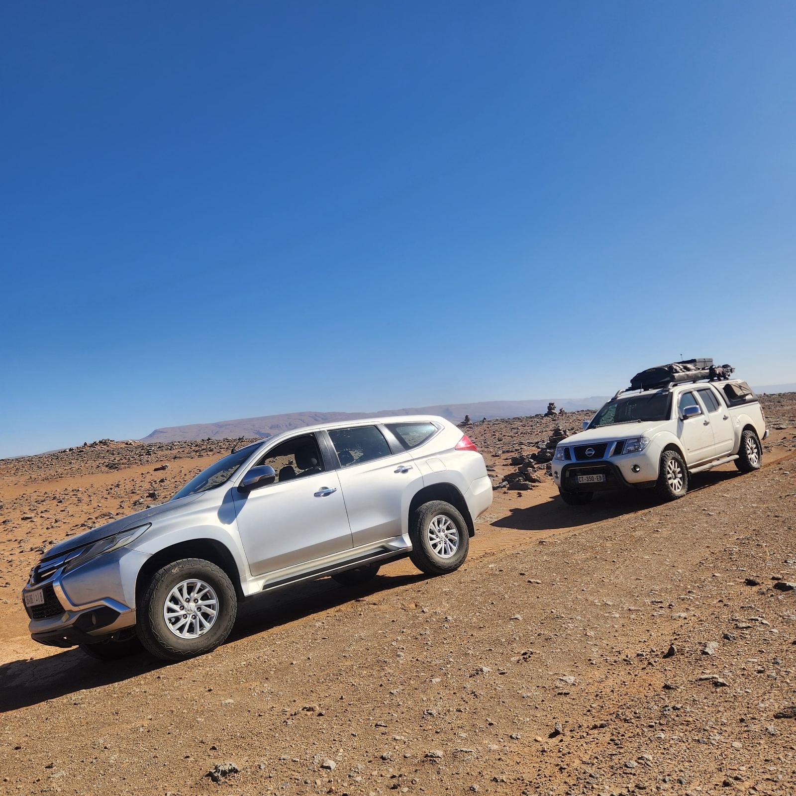
Rocky passage for Mitsubishi and Navara - ground clearance and line choice decide.
The convoy moves at the pace of whichever vehicle needs help.
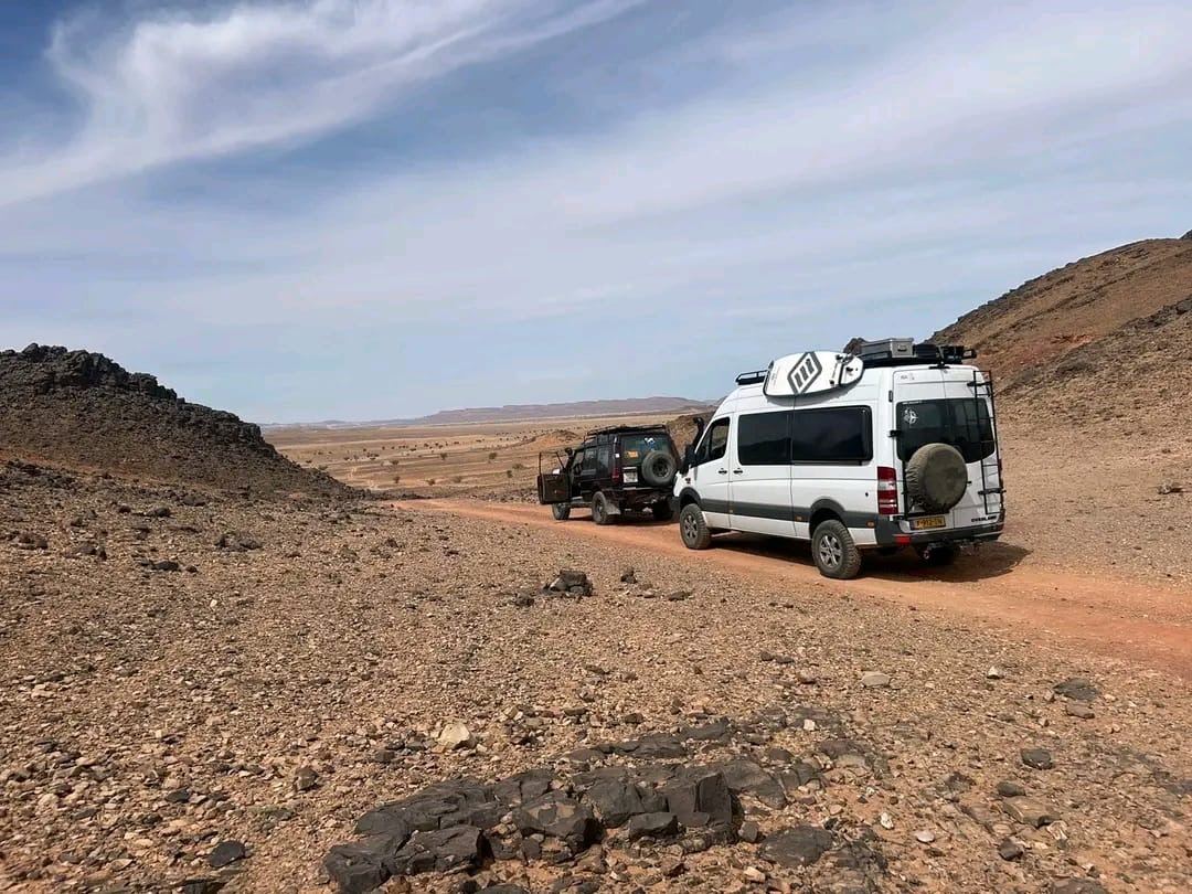
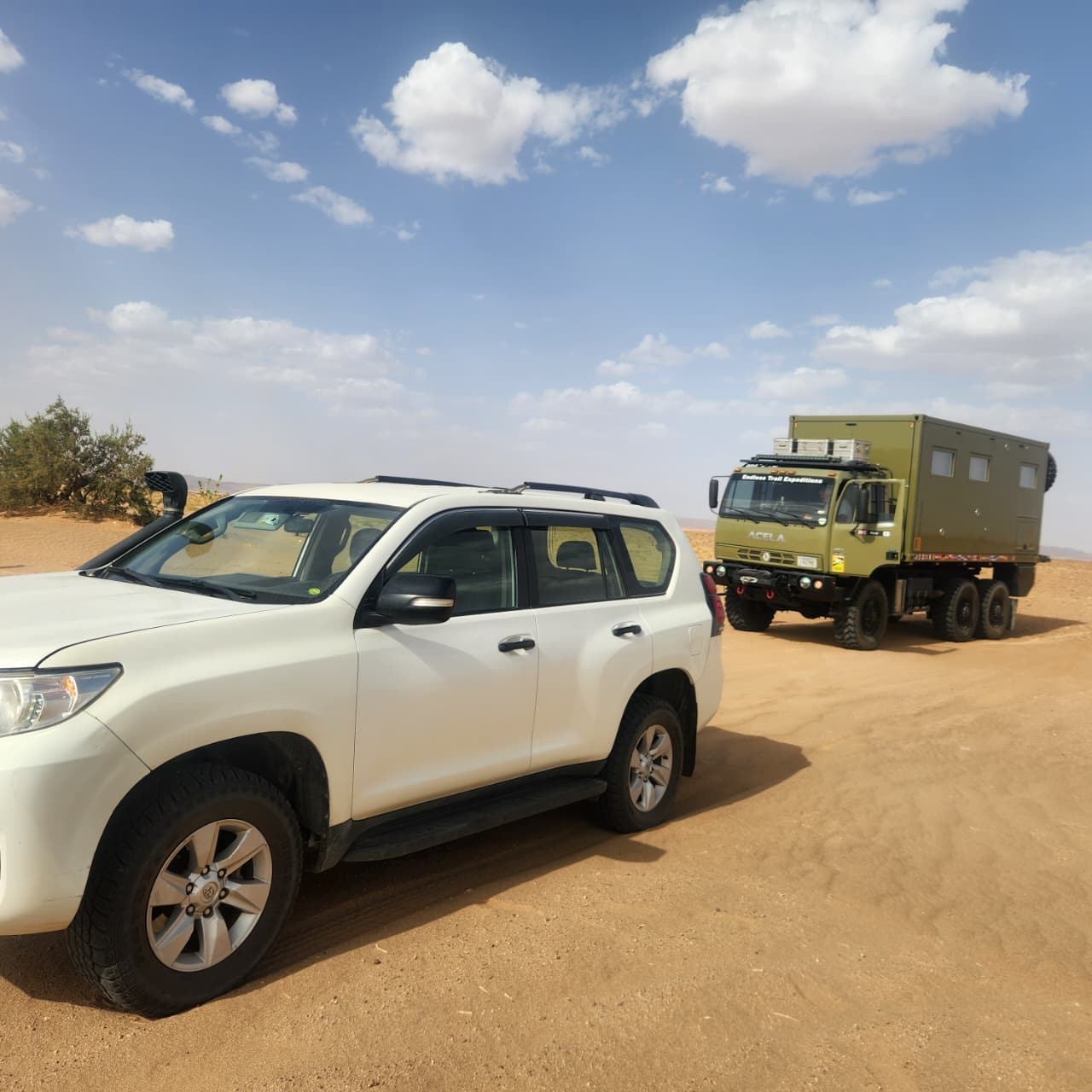
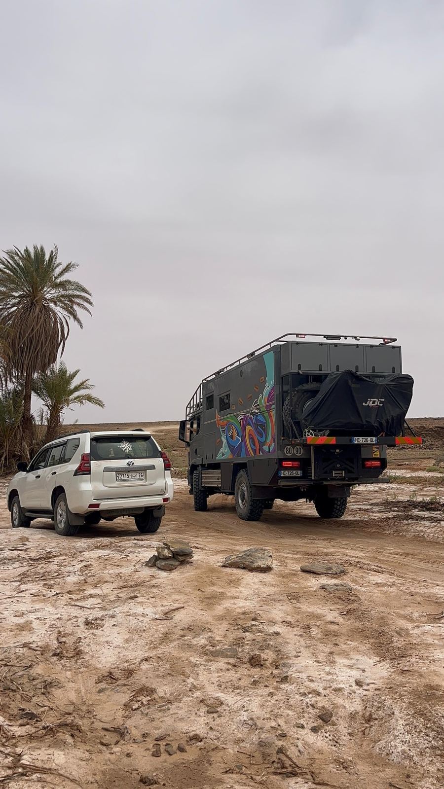
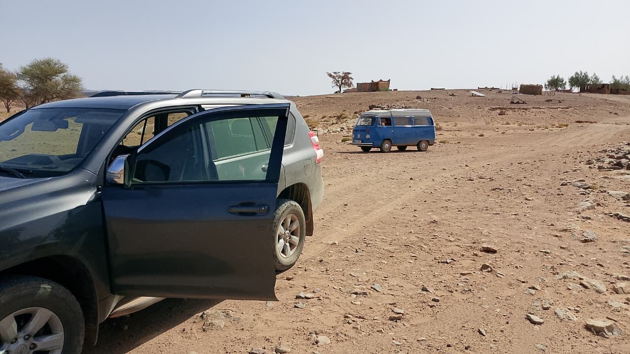
Bulli, Defender, Sprinter, Land Cruiser or 6x6: on the same track every vehicle behaves differently. Weight, ground clearance, tires and turning circle set the line. The group keeps distance in the dust, regroups at hard passages and stays in sight. This is exactly where a nice trail turns into real tour assistance.
Area
approximate area
Terrain
TRACK & ROCK
Region
Routes south of Zagora
Route and distance vary
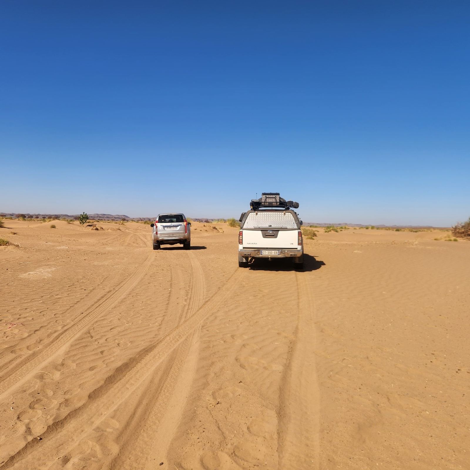
Convoy on a sandy track between low dunes.
Sprinter 4x4 and Defender on a rocky descent.
Light 4x4 and heavy 6x6 on the same track - with entirely different pace.
More from this chapter
Expedition truck and support vehicle on hard, salty ground.
Land Cruiser and classic VW Bulli: same route, different limits.
Heavy expedition vehicle in the rocky landscape south of Zagora.
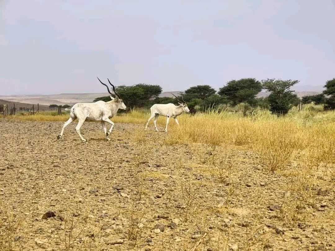
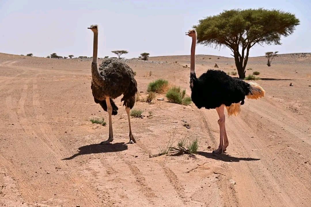
Addax on the move - a rare sighting, not a scheduled highlight.
The track doesn't belong only to us.
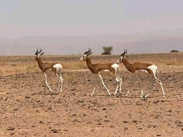
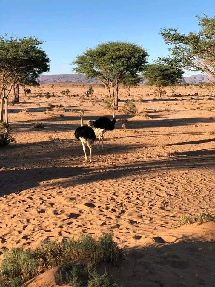
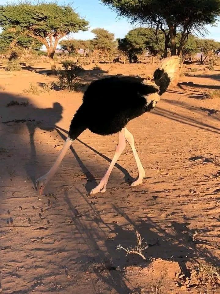
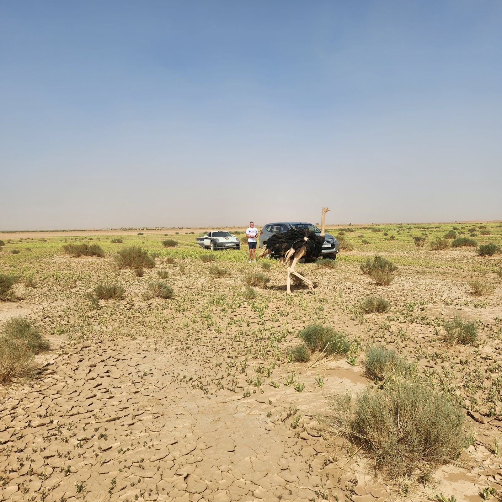
Inside a conservation area the drive changes: slower, quieter and with distance. The Addax, Dama gazelles and ostriches shown here are not a guaranteed attraction but part of a fragile habitat and conservation effort. A sighting is a gift - and a reason to leave the ground as we found it.
Area
approximate area
Terrain
CONSERVATION AREA
Region
Approximate area south of Zagora
Route and distance vary
Dama gazelles on open desert ground.
Ostriches in the warm evening light.
Animals have priority; vehicles keep their distance.
More from this chapter
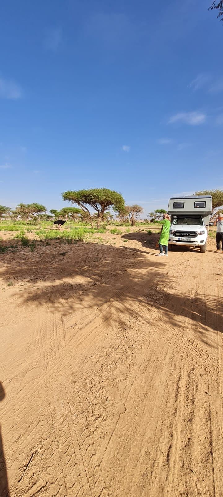
A travel vehicle at the edge of the habitat - slow and without approach.
Observe, don't pursue.
Vehicle and animal in the same landscape - distance stays essential.
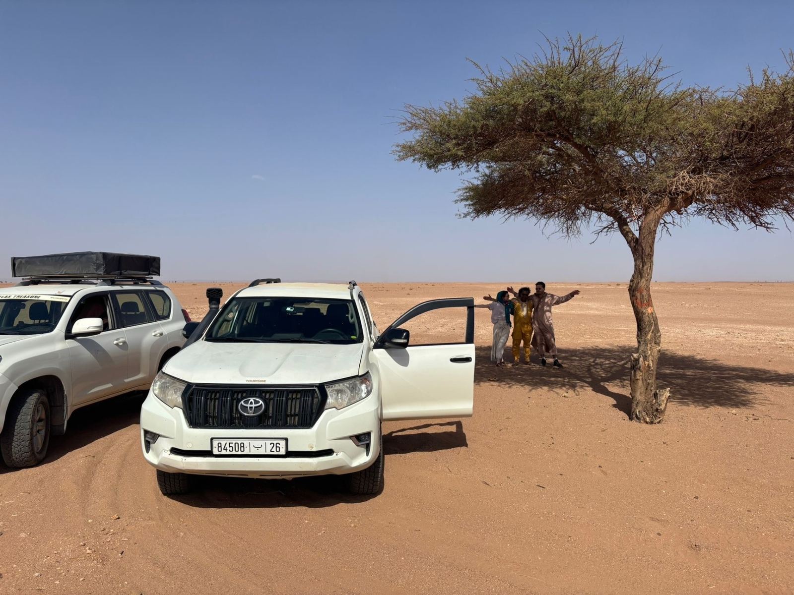
Shade under the acacia: encounters grow out of time and mutual respect.
Tea under the acacia.
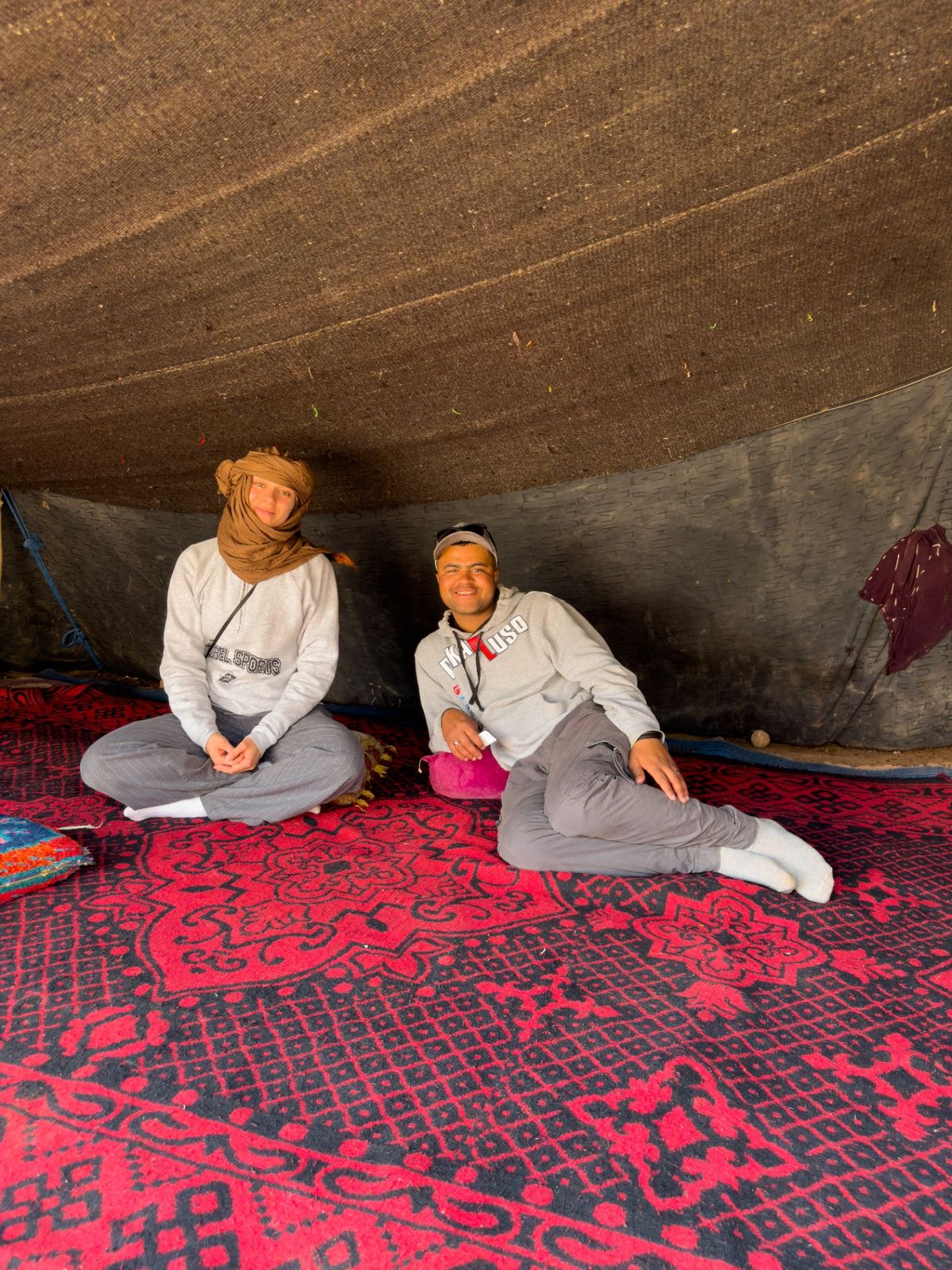
Some stops aren't in any roadbook. A patch of shade, a conversation and a glass of tea happen only when the encounter is welcome. Zakaria translates language as well as expectations. This isn't a staged programme point or a guaranteed camp - it's a moment that grows out of time, respect and local relationships.
Area
approximate area
Terrain
ENCOUNTER
Region
Along the route
Route and distance vary
A conversation in the tent - only when the invitation is welcome.
Short stop between sand and acacias before the route continues.
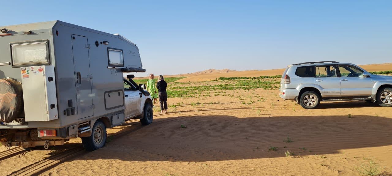
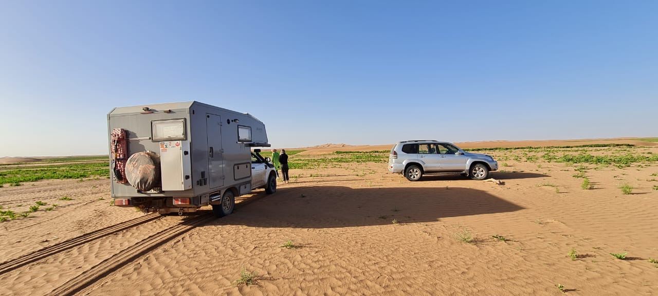
Expedition camper and SUV at the edge of the dune field.
Read the dunes, don't conquer them.
Before the big dunes we set tire pressure, spacing and possible bail-out routes. Windward, lee side, crest and run-out change constantly. Momentum helps, hubris doesn't. Vehicles keep their distance and never cross a crest blind. Route, weather and return have to be planned together.
Area
approximate area
Terrain
ERG & DUNES
Region
Erg Chegaga
Route and distance vary
Before entering, tire pressure, spacing and return route are settled.
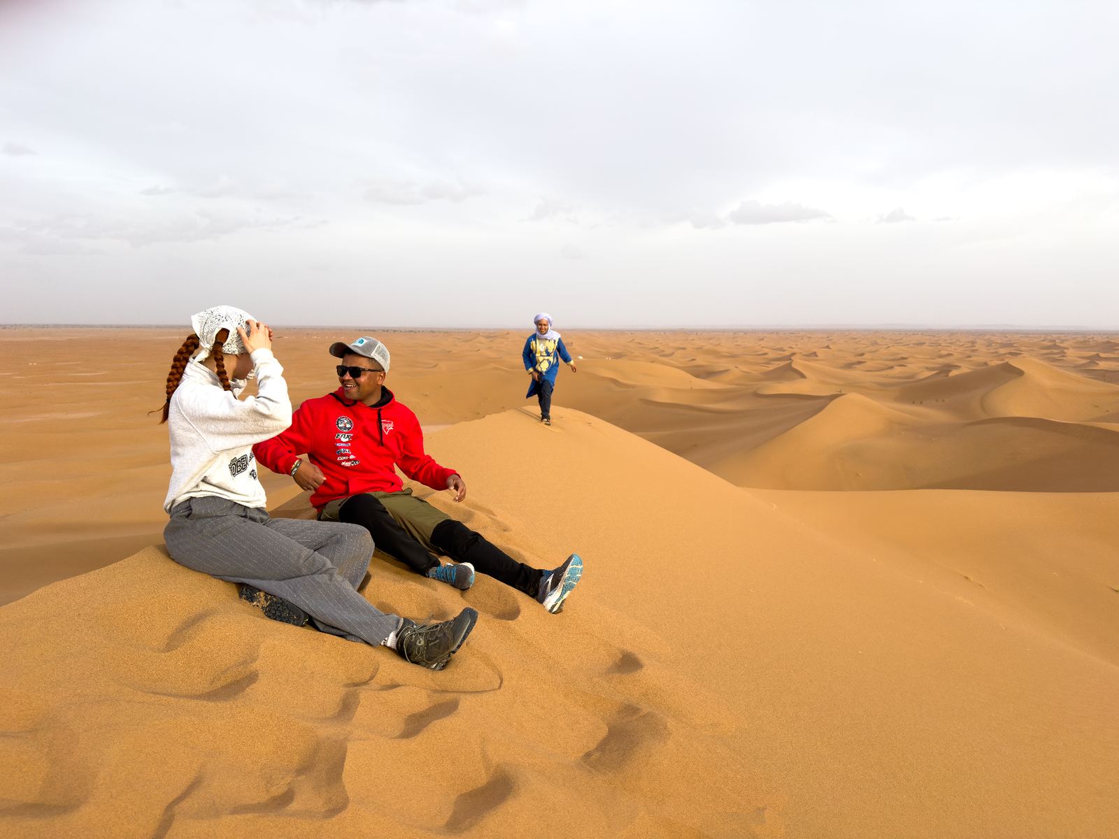
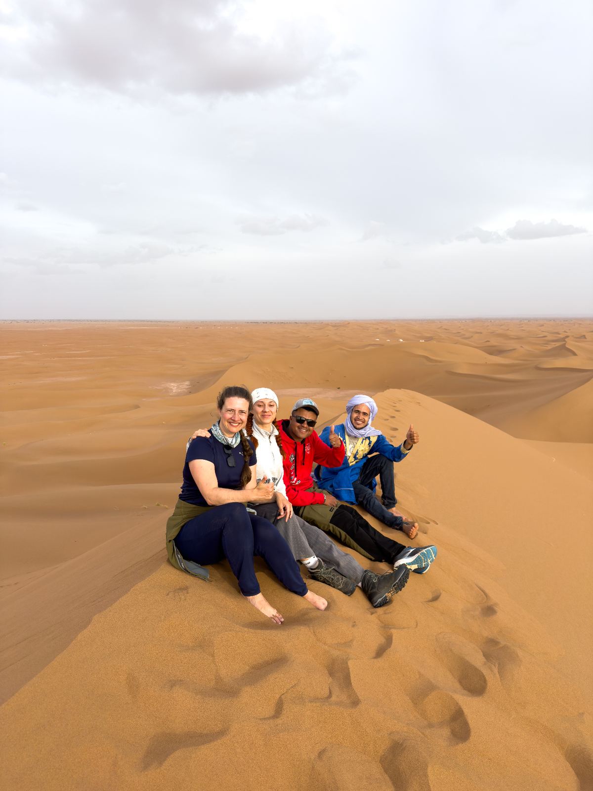
On the crest of a dune, overview counts - not speed.
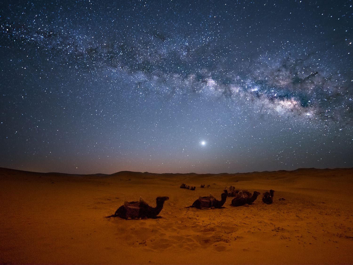
Milky Way over the dunes - when engines and daylight fall silent.
When the engine goes quiet.
At the end, at first there's only the ticking of hot metal. Then the sky grows. Without city light the Milky Way draws itself over the dunes, and the day's route becomes a memory. Whether the drive continues into the night or a camp is possible is agreed individually beforehand.